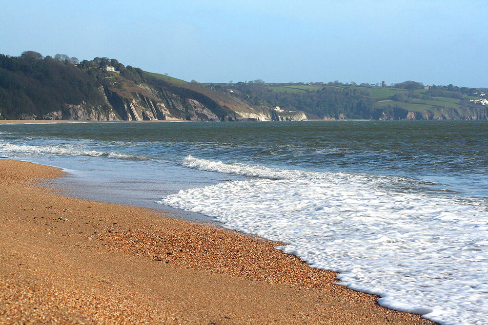
Slapton Sands and Torcross
Distance from the centre of Kingsbridge: 6.3 miles.jpg)
Overview
This whole area is well known as it was used during WWII by the Americans who were practising for the D-Day landings. A road runs between the shingle bank on the sea side and a lovely freshwater lake. Plenty of car parking available.
Facilities
.gif) Lifeguard on duty
Lifeguard on duty
.gif) Suitable for swimming
Suitable for swimming
.gif) Toilets
Toilets
.gif) Refreshments available
Refreshments available
.gif) Dogs allowed all year
Dogs allowed all year
.gif) Disabled access
Disabled access
.gif) Disabled facilities
Disabled facilities
Location
.jpg)
-image(400x320-crop).jpg)
.jpg)
.jpg)
.jpg)
.jpg)
.jpg)
.jpg)

.jpg)
.jpg)
.jpg)